Quaternary Paleoclimate of the Altiplano of Peru and Bolivia
Prof Paul A. Baker | Nicholas School of the Environment | Duke University | Durham | USA
& Prof Sherilyn C. Fritz | Department of Earth and Atmospheric Sciences and School of Biological Sciences | University of Nebraska-Lincoln | Lincoln | USA and Department of Geology | Lund University | Lund | Sweden
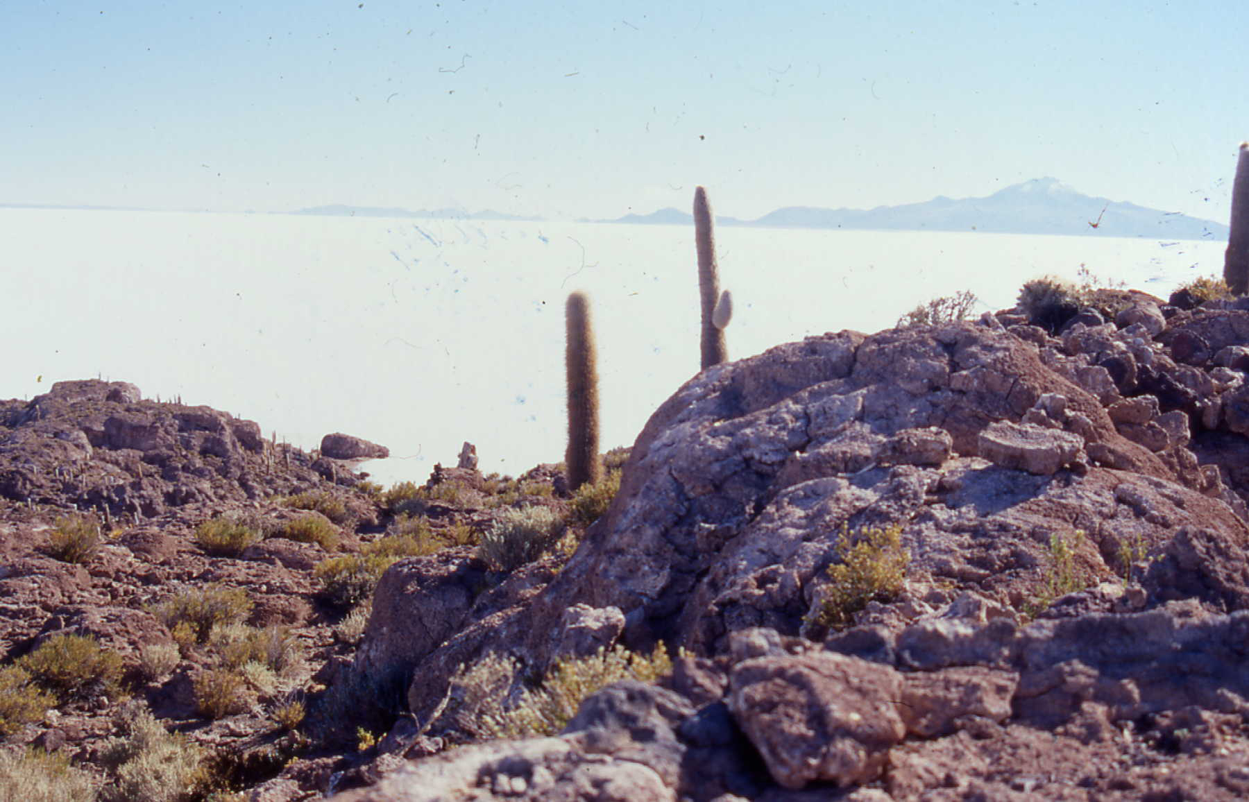
Abstract: Paleoclimatic studies document the growth and demise of large lakes on the Altiplano at many times during the late Quaternary. For example, Lake Titicaca has alternated between high-stand phases when the lake was deep, fresh, and vigorously overflowing (LGM), scant overflow (modern), no overflow with 85 m lake-level lowering (5000 years ago) and with 200 m lake-level lowering (MIS5). The wettest phases (P-E) have always coincided with glacial expansion in the Cordillera Real and globally. Downstream from Lake Titicaca, in the modern Rio Desaguadero valley, outcrop and drill cores (Rigsby et al., 2005) record four distinct generations of lakes since the LGM. The terminal basin of the central Altiplano drainage is the Salar de Uyuni, the world’s largest salt flat, where several generations of large lakes have alternated with shallow salt pans characteristic of dry periods. There is significant discord in the recent geological literature concerning the timing and levels of these lakes, but we will try to set the record straight. There is complete agreement, however, on the age of the deepest/largest lake in the basin, that reached ca. 130 m water depth and perhaps 80,000 km2 area. This paleolake was concurrent with the Heinrich 1 stadial of the North Atlantic region.
The longest instrumental climate record on the Altiplano, now 103 years duration, the Lake Titicaca level, documents a total range of lake level of 8 m with annual to inter-decadal variation. The annual rise of lake level is well correlated with instrumental measurements of annual precipitation amount and the oxygen isotopic composition of precipitation. Thus, oxygen isotopes in ice from the annually-resolved 500 year-long Quelccaya ice-core record (located in the northern limit of the watershed) and the much longer, but lower resolution, Sajama ice core can also be utilized to deduce precipitation variation and help bridge the gap between the lacustrine geological and instrumental timescales. In sum, the combined instrumental and geologic records show that Altiplano lake levels, even the existence of lakes, vary on intra-annual to orbital time scales.
While many published studies document the influence of Pacific Nino-SST variability on Andean and South American precipitation variability and, indeed, water-level change of Lake Titicaca is significantly correlated with Nino-3 SST; on longer timescales lake-level change and precipitation in the Altiplano, is significantly correlated with tropical North Atlantic (TNA) SST. The quasi-decadal variability of TNA SST persists throughout the entire Quelccaya record (Melice and Roucou, 1998). It is also clear that TNA SST affects Altiplano precipitation variability on millennial and orbital time-scales. We present a simple climate forcing model that accounts for most of the long-term variability of Altiplano precipitation with two factors, summertime insolation and TNA SST.